

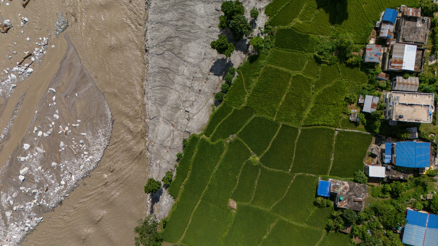
What happened in Rasuwa and Nuwakot points to a larger problem than flood management, it reveals how decades of development has reorganised an entire valley around roads, trade, and border infrastructure, concentrating people and investment in places increasingly exposed to climate hazards.
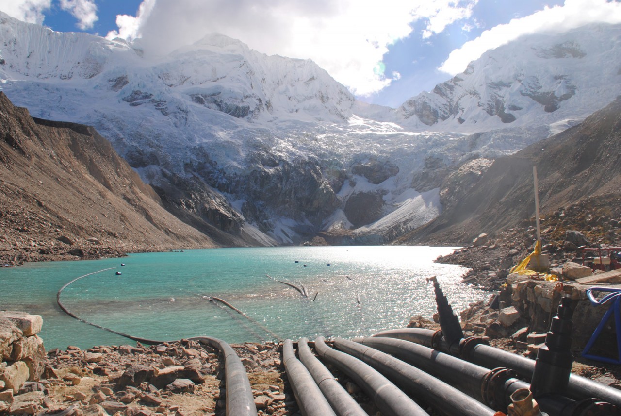
The Trisuli Valley was a landscape already familiar with disaster. On 8 July 2025, a flood originating from the Purepu Glacier in China destroyed the same bridge at Rasuwagadi, killed or left missing at least 28 people, and wrecked 60% of the Timure dry port, a Rs2.8 billion facility that was 81% complete.
The bridge was rebuilt. The dry port was still being repaired when the flood came again.
TRADITIONAL SAFETY
Traditional Tamang settlements in the valley were organised around flood mitigation. Rice fields were often located close to the river, where access to water and fertile soil made them productive. Houses were built higher up the slopes.
Over the past 70 years, development altered that relationship. Roads, outmigration, and the shift from agricultural livelihoods toward trade and wage-based economies reorganised where people live and work.
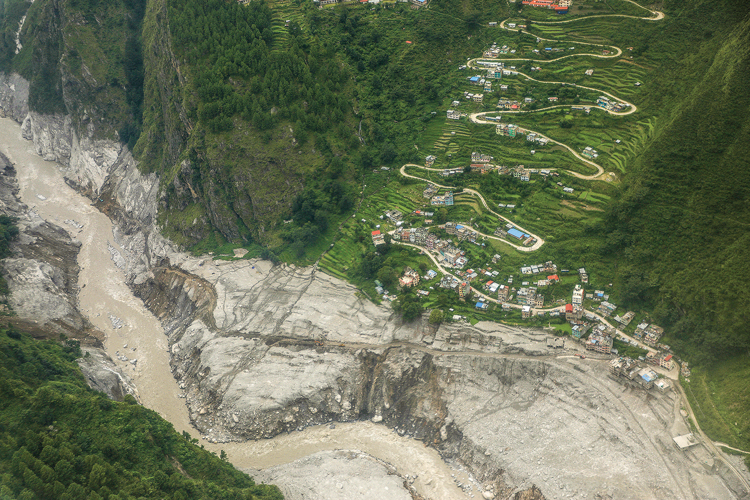
Roads are frequently built along floodplains because they are easier and cheaper. Houses and businesses then follow the roads, concentrating settlement precisely in areas most exposed to flooding.
Infrastructure attracts economic activity, economic activity attracts settlement, and settlement increases exposure when rivers overflow their banks. What once functioned as agricultural floodplain become real estate and transport corridors.






Comments
0 commentsNo comments yet — be the first.